
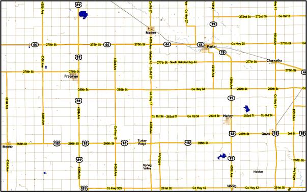
 This light-weight problem arose from a newspaper article that had me looking at a Google map of the area near Sioux Falls, South Dakota. What I saw was an excellent example of the Taxicab Geometry, allegedly first considered by Hermann Minkowski, mathematical friend of Albert Einstein. The map configuration was perpetrated by the great Public Land Survey System (PLSS) that originated with Thomas Jefferson and spread from Ohio (more or less) west to the California coast. This scheme overlaid the country basically with a 1 mile x 1 mile square grid of roads, and South Dakota is a prime example.
I first confronted the PLSS doing genealogy research, where the grid became a main method for locating the farms of ancestors. I had no idea it was so extensive. A fabulous book about the system and the history of land surveying in America is Andro Linklater’s Measuring America: How the United States Was Shaped By the Greatest Land Sale in History (2002). I learned all about perches and 17th century English mathematician Edmund Gunter’s survey chain, which became an essential tool for so vast a survey undertaking. Regarding the implications of the PLSS in South Dakota, see the South Dakota Travel Problem.